Draft Plans of Management - Priority Natural Areas
Consultation has concluded
Blue Mountains City Council presents the following draft Plans of Management (PoM) for community review and comment via submission:
MOUNT WILSON AND MOUNT IRVINE PRECINCT
- Mount Wilson & Mount Irvine Reserves Draft PoM - Reserve 85173
- Mt Wilson/Irvine Rural Fire Brigade Station Draft PoM - Reserve 83558
- Silva Plana Draft PoM - Ref 1-002
- Waterfalls Track (PART) Draft PoM - Ref 1-001 *
PRIORITY NATURAL AREAS
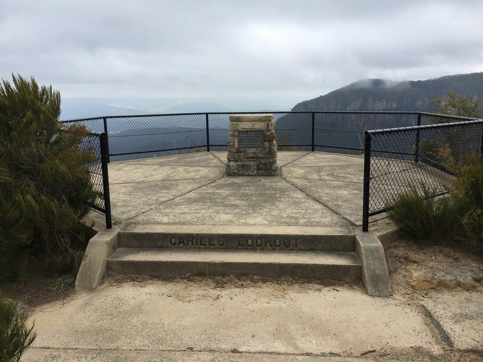
- Cahills Lookout Reserve Draft PoM - Reserve 84836
- Leura Cliff Walk Draft PoM - Ref 2-049
- Katoomba Cliff Drive Sites - Council Community Land Draft PoM
- Silver Mist Park Draft PoM - Ref 2-055
- Leura Park Draft PoM - Reserve 500435 (Includes Peter Carroll Oval, Leura Cascades and Carrington Park)
- Leura Oval Draft PoM - Reserve 52069 (Includes Leura Oval, Lone Pine Memorial and Gates, Gordon Falls Park and Sublime Point Reserve)
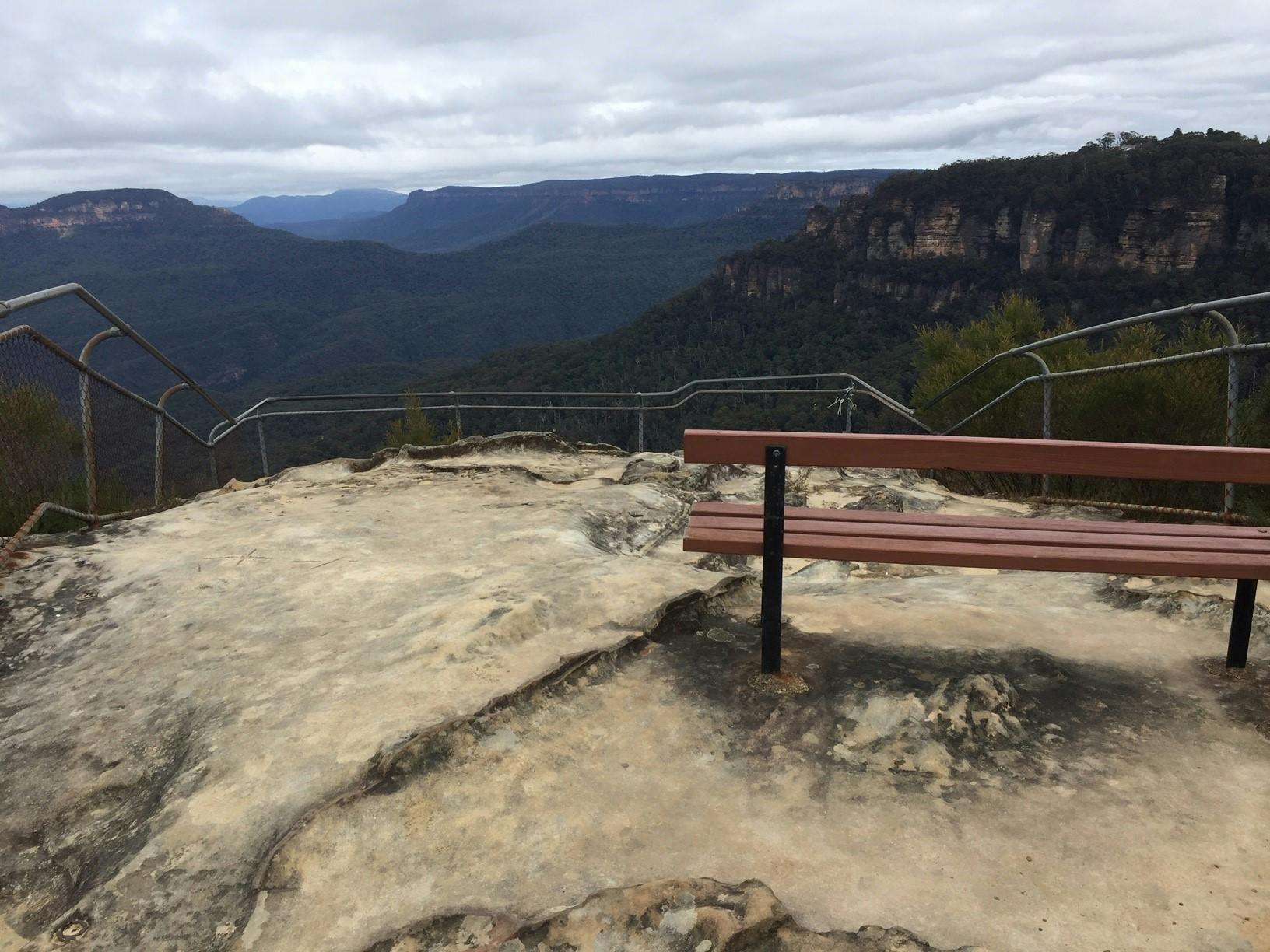
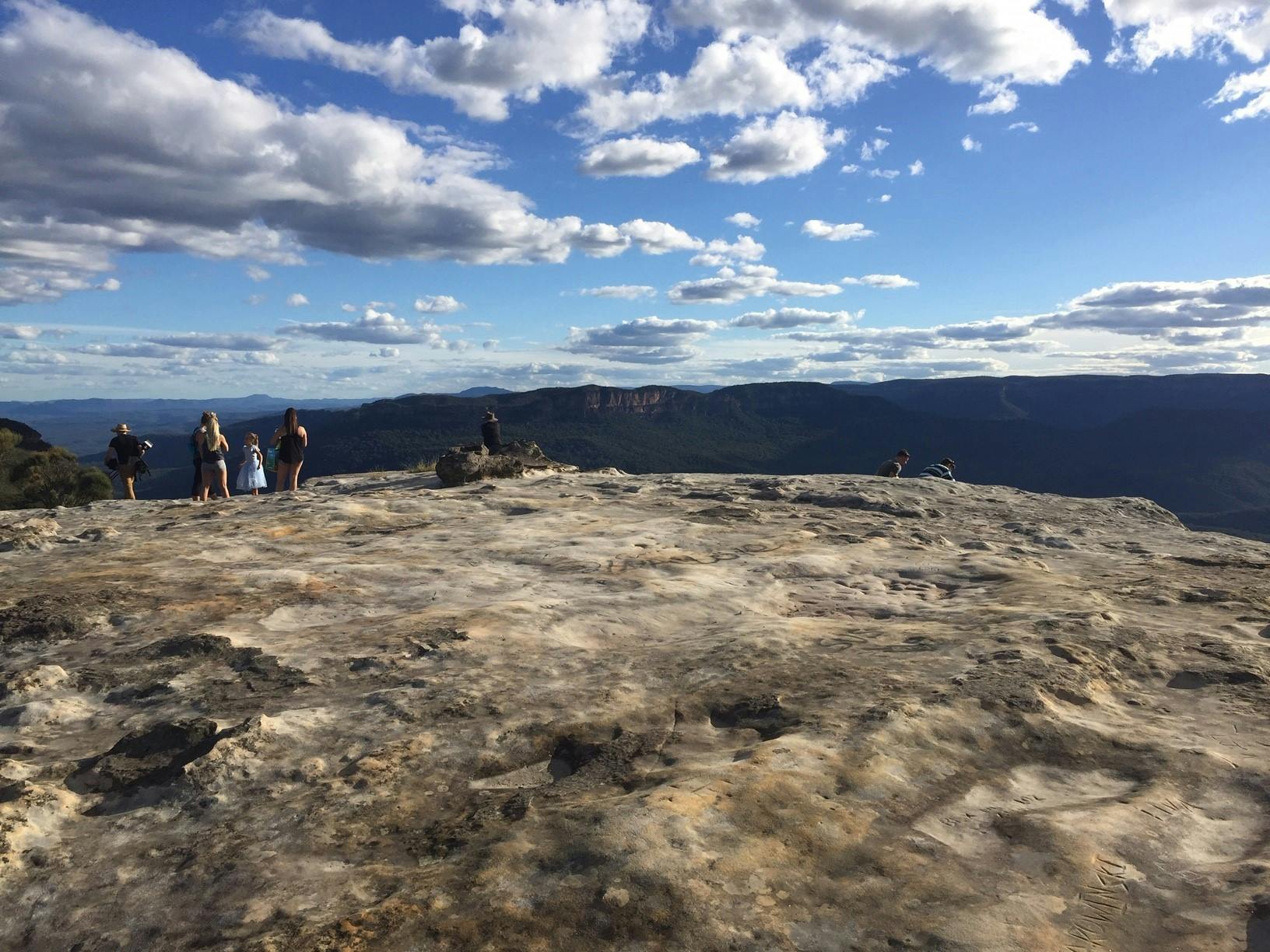
- Sublime Point Reserve Draft PoM - Ref 2-056
- Wilson Park and Jamieson Creek Reserves Draft PoM - Reserve 88870 (Includes WWFalls Tennis Club, WWFalls RFS Station and Charles Darwin Walking Track)
- Lincolns Rock, Wentworth Falls - Council Community Land - Ref 2-057
- CWA Gardens and Lions Park Draft PoM - Reserve 83063 (Also known as Kedumba Park)
- Mitchells Pass Draft PoM - Reserve 53925
PUBLIC EXHIBITION DATES
Submissions Open Wednesday 3 August to
Closes Wednesday 14 September 2022
Under the Crown Land Management Act 2016 (CLM Act), Blue Mountains City Council (Council) has been appointed ‘Crown Land Manager’ to 145 crown reserves. Council also manages many sites of Council Community land.
In the role of Crown Land Manager, Council must manage these reserves as if they are ‘public land’ under the Local Government Act 1993 (LG Act). Council has classified these sites as Community Land. Land categories such as Park, Sportsground, General Community Use or Natural Area (with sub-categories of bushland, escarpment, watercourse, wetland or foreshore) have been applied where appropriate. These categories were applied using existing Council GIS (Geographical Information System) mapping.
The new draft Plans of Management documents describe the current condition and use of the sites, permit appropriate activities and lease/licenses and describes how the site is being managed according to the objectives of each category.
This public exhibition period is opportunity for the community and interested parties to read the draft documents and supply comment via submission.
HOW TO MAKE A SUBMISSION
To make a submission please use the survey forms below.
Alternatively, a written submission can be addressed to:
Attention: Plans of Management Project team
Blue Mountains City Council
Locked bag 1005
KATOOMBA NSW 2780
or/ send an email to council@bmcc.nsw.gov.au (Attention: Plans of Management Project team)
Category Mapping Review of Selected Council Community Land
The second and final Public Hearing was held on Wednesday 17 August 6:00pm - 8:00pm for selected Council Community land sites that feature the Park and Natural Area land categories. Please see: https://yoursay.bmcc.nsw.gov.au/public-hearings to view the presentation and both the reports by the independent planner.
* Note - The Crown Parcels at the Waterfalls Track are included in the Mount Wilson & Mount Irvine Reserves Draft PoM - Reserve 85173
-
 Cahills Lookout Katoomba 84836 Draft PoM.pdf (3.4 MB) (pdf)
-
Leura Cliff Walk PoM 2-049 Draft PoM.pdf (4.89 MB) (pdf)
-
Katoomba Cliff Drive Sites Draft PoM.PDF (9.83 MB) (PDF)
-
Katoomba Silver Mist Park 2-055 Draft PoM.pdf (1.9 MB) (pdf)
-
Leura Park R500435 Draft PoM.pdf (6.82 MB) (pdf)
-
Leura Oval R 52069 Draft PoM.pdf (7.02 MB) (pdf)
-
Leura Sublime Point 2-056 Draft PoM.pdf (4.36 MB) (pdf)
-
Charles Darwin and Wilson Park WWFalls Draft PoM.pdf (8.11 MB) (pdf)
-
Wentworth Falls Lincoln Rock 2-057 Draft PoM.pdf (3.99 MB) (pdf)
-
Kedumba Park Draft PoM.pdf (1.51 MB) (pdf)
-
Mitchells Ridge Lookout 53925 Draft PoM.pdf (4.49 MB) (pdf)