Draft Floodplain Risk Management Study and Plan: Lapstone, South Glenbrook and South Blaxland
Share Draft Floodplain Risk Management Study and Plan: Lapstone, South Glenbrook and South Blaxland on Facebook
Share Draft Floodplain Risk Management Study and Plan: Lapstone, South Glenbrook and South Blaxland on X (formerly Twitter)
Share Draft Floodplain Risk Management Study and Plan: Lapstone, South Glenbrook and South Blaxland on Linkedin
Email Draft Floodplain Risk Management Study and Plan: Lapstone, South Glenbrook and South Blaxland link
Consultation has concluded.
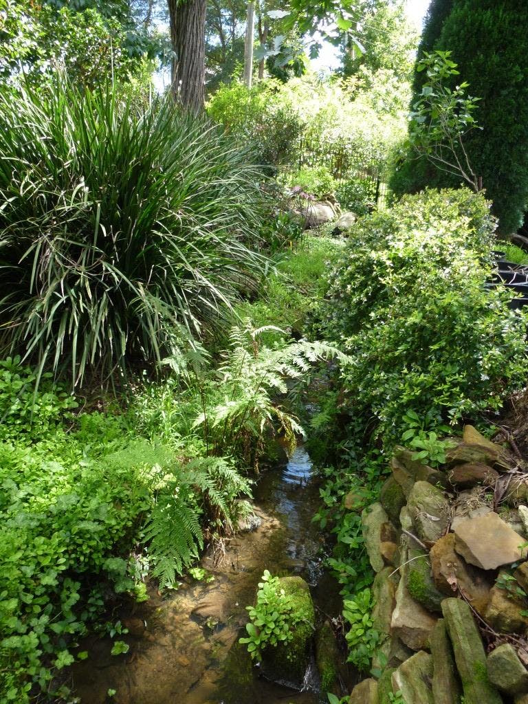
Blue Mountains Local Government Area (LGA) encompasses an area of 1,432km2 to the west of Sydney and includes large areas which are situated within Blue Mountains National Park. The area of focus for this study encompasses a number of overland flow paths which flow through urbanised areas within Lapstone, South Glenbrook and South Blaxland.
A flood study was undertaken on behalf of Blue Mountains City Council (“Council”) and completed in 2012 to investigate flooding behaviour in the Glenbrook-Erskine Creek catchment, with a study area of 373km2, located to the south of the Great Western Highway and stretching from Lapstone in the east to Bullaburra in the west.
Given that the study area was of considerable size, analysis of the flooding behaviour was undertaken at a broad scale. The current floodplain risk management study is located in the eastern portion of the Glenbrook-Erskine Creek catchment.
You can also register your interest to attend a Community Information Session on the draft plan - simply fill out the form located on the right hand side of this page.